Mapping of Rural Roads of Sermathang

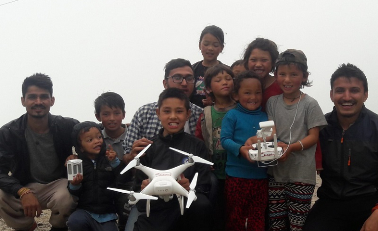
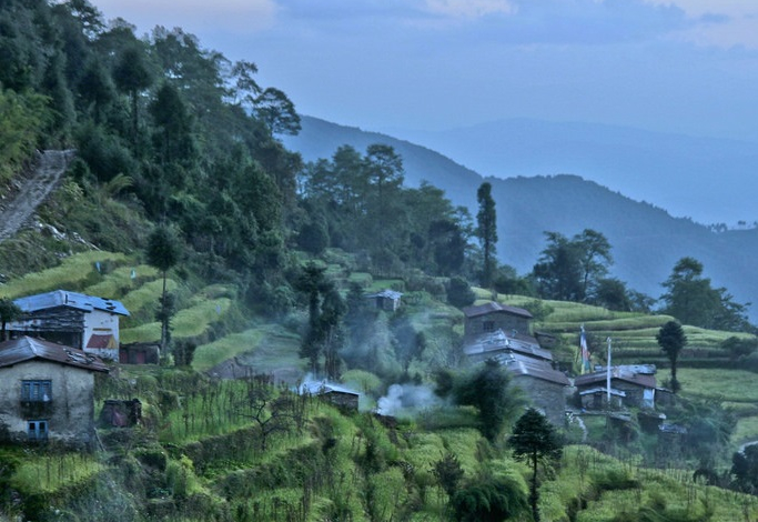
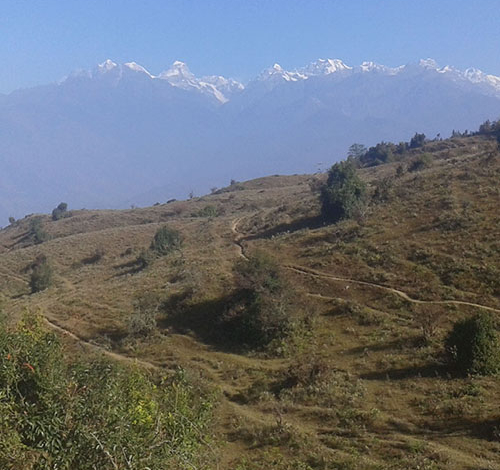
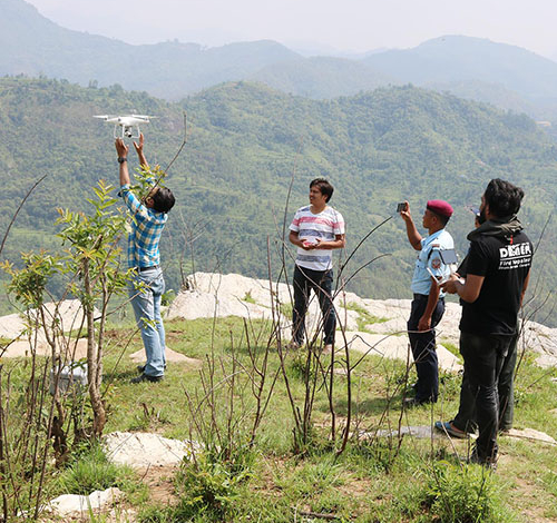
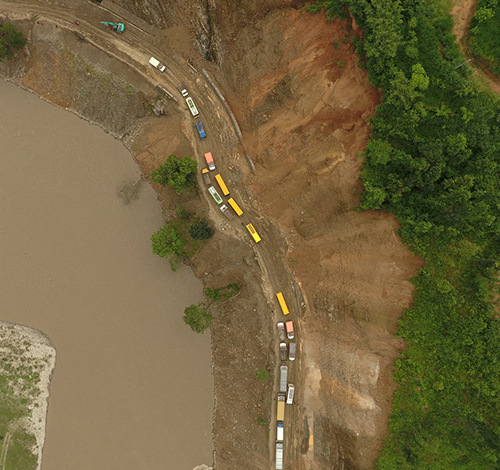
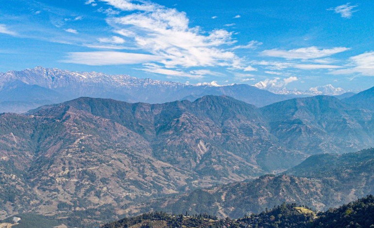
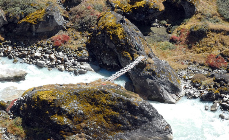
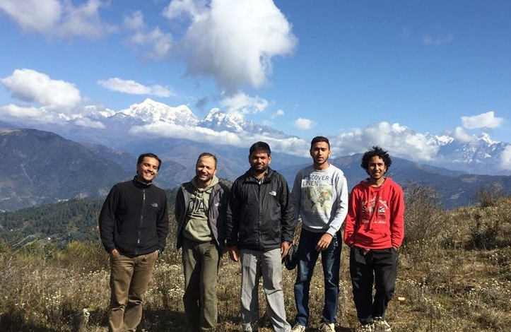
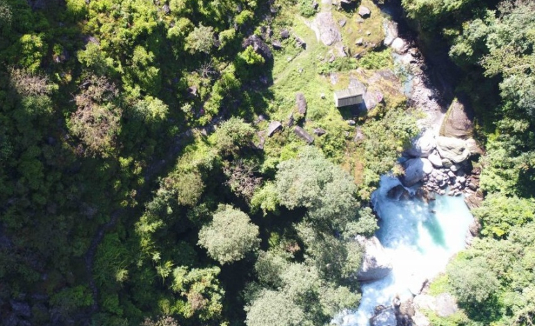
Project Title: Pre-Feasibility Mapping of Rural Roads (Motinagar-Bijayapur-Talladehi section)Client Name: Sermanthang Village Women Development CommitteeProject Status: CompletedCategory: Road Survey We mapped a 26 km section of road (Motinagar-Bijayapur-Talladehi section) in a remote area of Nepal.A project of this size in the rural hills would typically take around 20 days of work with traditional ground surveying methods (Total Station and sometimes…

Aerial Mapping of Sermanthang Village, Sindhupalchowk for Reconstruction Planning

Project Title: Aerial Mapping of Sermanthang Village, Sindhupalchowk for Reconstruction PlanningClient Name: Sermanthang Village Women Development CommitteeProject Status: CompletedCategory: Planning and reconstruction We, with two other local partners took a 6 hour bus ride, followed by a 2 hour hike, East of Kathmandu to the beautiful village Shermathang. At an altitude of 2,600 meters, Shermathang boasts scenic beauty and a…

UAV survey and master-planning for village relocation in Khotang

Project Title: UAV survey and master-planning for village relocation in KhotangClient’s Name: Rupakot-Majuwagadi Rural MunicipalityProject Status: CompletedCategory: Surveying, Master-planningMajor Outputs: Topographical maps, Contour map, Layout map, Master plan In order to find the usability of a new place for village relocation planning, lots of time is required for recognition of the potential sites and then for their study. It’s a…

UAV survey for Zoological Park Design and Master-planning

Project Title: UAV Survey for Zoological Park Design and Master-planningClient’s Name: Hydrocon Nepal Pvt. Ltd.Project Status: CompletedCategory: Topographical survey, planningMajor Outputs: Topographical maps, Contour map Proposed over the area of 455 Hectares, Bhanubhakta Zoological Garden is a huge zoological garden to be constructed at areas encompassed by two municipalities in the Gandaki province of Nepal : Byas and Tanahun. Highest…

Landslide Mapping of Four Sites in Nuwakot

Project Title: Landslide Mapping of Four Sites in NuwakotClient’s Name: GeocomProject Status: CompletedCategory: Landslide mappingMajor Outputs: Topographical map, Contour map, 3D, Volume calculation Nepal, being one of the most disaster prone countries in the world, has a high occurrence rate of landslides over hundreds of places. From the loss of lives and properties to the blockage of the primary highways…

UAV mapping in Sunkhani Nuwakot

Project Title: UAV mapping in Sunkhani NuwakotClient’s Name: Urban ParkProject Status: CompletedCategory: Topographical Mapping for Tourism PlanningMajor Outputs: Topographical map, Contour map, 3D Sunkhani is a village development committee in Nuwakot District north western part of Kathmandu valley. The area is located in a transition zone between subtropical and temperate climate. The topography here was dominantly steep hill slopes. Further…

Hongu Khola HPP Preliminary Survey

Project Title: Hongu Khola HPP Preliminary SurveyClient’s Name: Hongu Khola HPPProject Status: CompletedCategory: Hydropower Survey The fact that some hydropower stations are particularly remote makes them difficult, time consuming and expensive to survey. Hongu Khola is located far from the valley in a remote village at Hongu khola in Chheskam VDC of Solukhumbu District in Eastern Nepal. Despite the fact…

Topographical Surveying of Kalinchowk Hydropower Station

Project Title: Topographical Surveying of Kalinchowk Hydropower StationClient Name: Kalinchwok Hydropower ProjectProject Status: CompletedCategory: Hydropower Survey Kalinchowk Hydropower Station is a small hydropower station with 2600 KW capacity located at Kalinchowk Gaupalika, Ward No 1., Dolakha. The hydropower generation is based on Budhekhani and Bhumithaan rivers and this station is aimed to be completed in 2020. The station site is…

Liping khola hydropower UAV survey

Project Title: UAV survey of Liping khola hydropower projectClient’s Name: Him river power pvt. Ltd.Project Status: CompletedCategory: Hydropower surveyMajor Outputs: Topographical maps, Contour map Liping khola Hydropower project is the first hydropower project ever mapped using UAVs, for both DroNepal and the overall Nepalese hydropower market. Hence, the project carried utmost importance for us and a huge challenge in terms…

As-Built Survey in Biratnagar Municipality

Project Title: UAV survey and as built analysis of Biratnagar municipalityClient’s Name: Kalika ConstructionProject Status: CompletedCategory: Urban Planning, As built AnalysisMajor Outputs: Profiles, Cross-sections, Plans and Features of construction overlaid in orthophoto maps, interactive GIS database and map As built analysis of a site where construction is completed is a very significant type of analysis required to verify that the…