Planning And Reconstruction

Aerial Mapping of Sermanthang Village, Sindhupalchowk for Reconstruction Planning

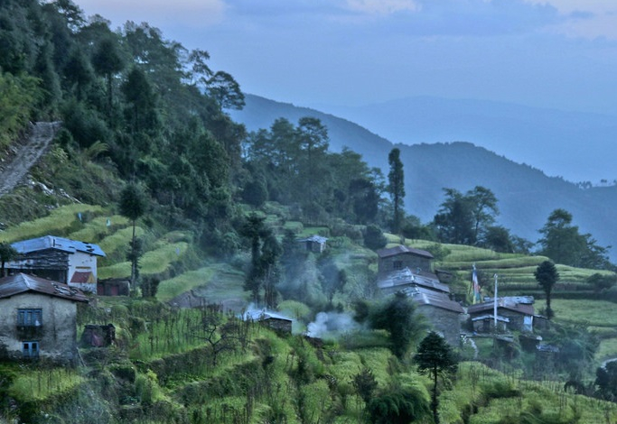
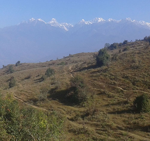
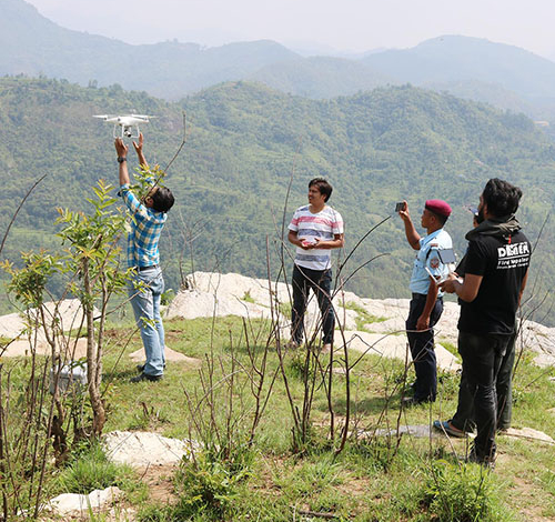
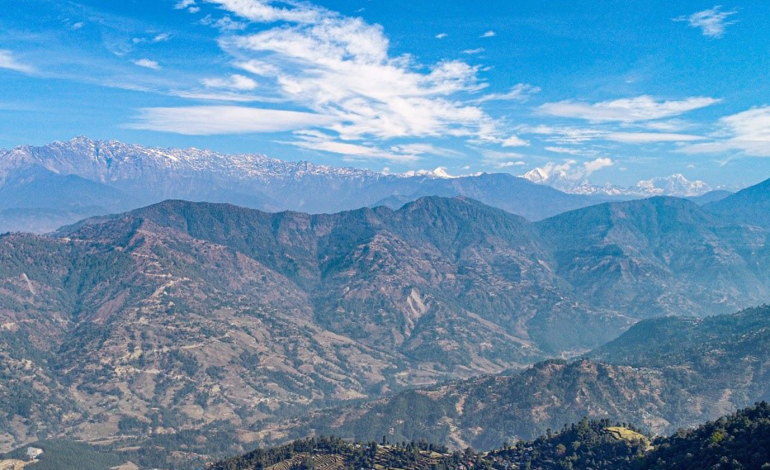
Project Title: Aerial Mapping of Sermanthang Village, Sindhupalchowk for Reconstruction PlanningClient Name: Sermanthang Village Women Development CommitteeProject Status: CompletedCategory: Planning and reconstruction We, with two other local partners took a 6 hour bus ride, followed by a 2 hour hike, East of Kathmandu to the beautiful village Shermathang. At an altitude of 2,600 meters, Shermathang boasts scenic beauty and a…

UAV survey and master-planning for village relocation in Khotang

Project Title: UAV survey and master-planning for village relocation in KhotangClient’s Name: Rupakot-Majuwagadi Rural MunicipalityProject Status: CompletedCategory: Surveying, Master-planningMajor Outputs: Topographical maps, Contour map, Layout map, Master plan In order to find the usability of a new place for village relocation planning, lots of time is required for recognition of the potential sites and then for their study. It’s a…

UAV survey for Zoological Park Design and Master-planning

Project Title: UAV Survey for Zoological Park Design and Master-planningClient’s Name: Hydrocon Nepal Pvt. Ltd.Project Status: CompletedCategory: Topographical survey, planningMajor Outputs: Topographical maps, Contour map Proposed over the area of 455 Hectares, Bhanubhakta Zoological Garden is a huge zoological garden to be constructed at areas encompassed by two municipalities in the Gandaki province of Nepal : Byas and Tanahun. Highest…

Landslide Mapping of Four Sites in Nuwakot

Project Title: Landslide Mapping of Four Sites in NuwakotClient’s Name: GeocomProject Status: CompletedCategory: Landslide mappingMajor Outputs: Topographical map, Contour map, 3D, Volume calculation Nepal, being one of the most disaster prone countries in the world, has a high occurrence rate of landslides over hundreds of places. From the loss of lives and properties to the blockage of the primary highways…

UAV mapping in Sunkhani Nuwakot

Project Title: UAV mapping in Sunkhani NuwakotClient’s Name: Urban ParkProject Status: CompletedCategory: Topographical Mapping for Tourism PlanningMajor Outputs: Topographical map, Contour map, 3D Sunkhani is a village development committee in Nuwakot District north western part of Kathmandu valley. The area is located in a transition zone between subtropical and temperate climate. The topography here was dominantly steep hill slopes. Further…