

Services
Aerial Photography and Video Production Services
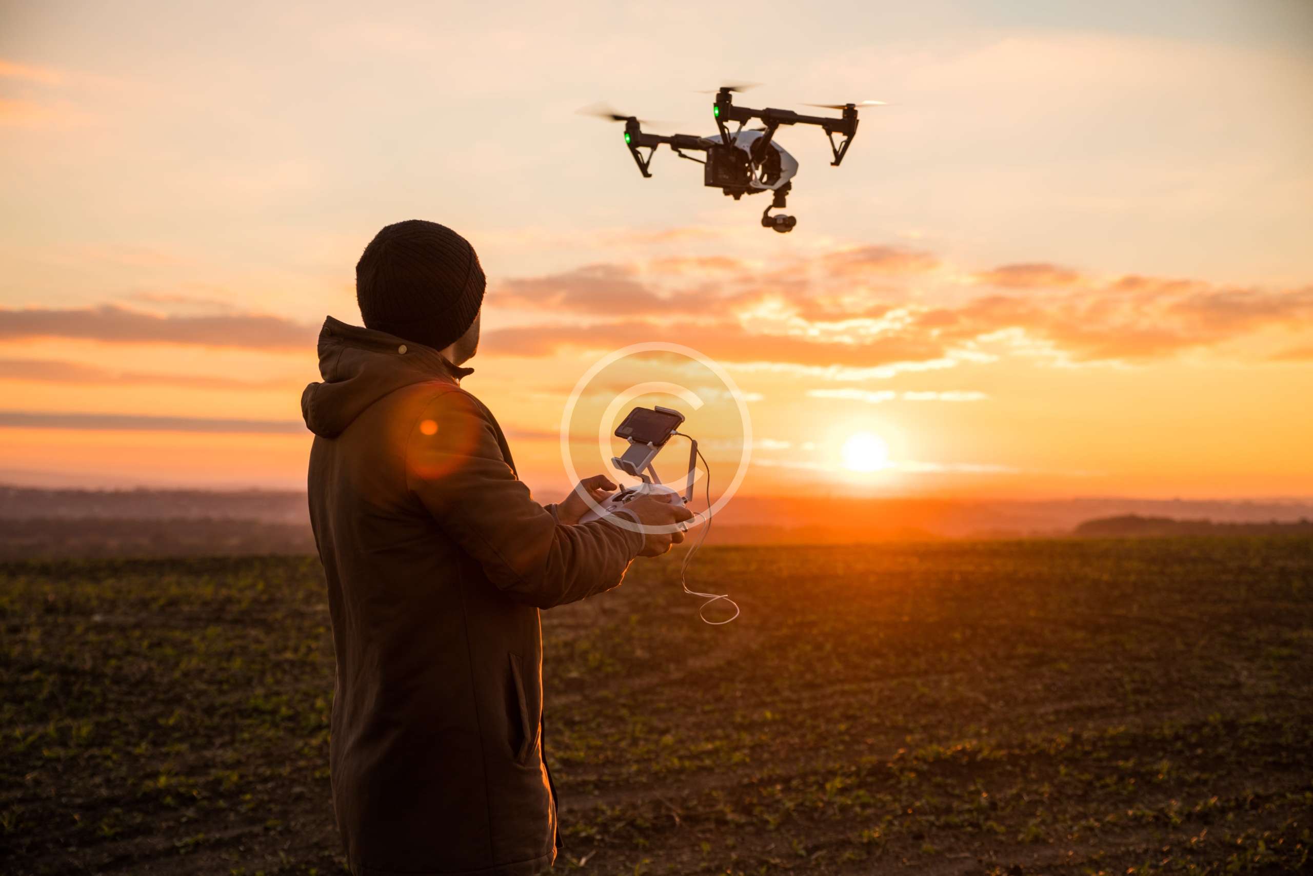
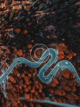
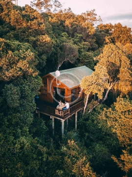
My photography is my passion,, and doing what I like is a true pleasure. I can create any type of aerial content for your personal or professional projects. Nature, real estate, weddings, family events, sports – these are my main drone shooting themes. My clients choose me because they know I am the best at it!
I Love My Clients, And They Love Me
“We had so much fun during the day of our meeting. The project turned out to be a real treasure for us because of your amazing job! I will recommend you to everyone!”
Matt Gilbert
“What I really liked was the quality of the device, the individual approach and the amazing atmosphere that we had during shooting the footage! Thank you a lot”
Tom Parker
“I appreciate your amazing services and professional staff for all your hard work and creative thinking! It was fun, and I hope to work with you again soon!”
Nicky Johnson
ABOUT ME
MAIN INFO
I help you avoid the intimidating, time and money-consuming process of drone implementation. Instead, I simply give you what you want: amazing aerial footage and valuable materials.

JASON PARKETT
Creative Director
Since its emergence, my company devotes time and efforts to solving business problems for the clients with the help of technology-based solutions. I am able to provide our customers with services that meet all their needs. The studio’s strength lies in its diverse background in design, cinematography, photography, and (motion) graphics.
FEATURED SERVICES
- Weddings
- Outdoor Festivals
- Promotional Events
- Concerts
- Team Sports
- Commercial Real Estate
- High-End Residential Flyovers/Walkthroughs
- Country Clubs/Golf Courses
- Schools/Universities
- Website Design
- Marketing Tools
- Promotional Videos
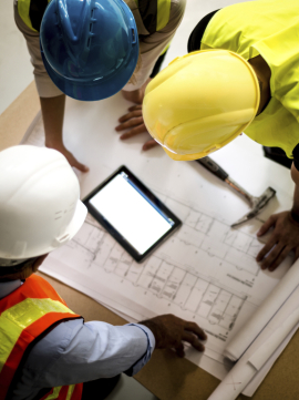
- Construction
- Real Estate
- Landmarks and Cityscapes
- Residential/Landscape
RECENT POSTS
Project Title: Pre-Feasibility Mapping of Rural Roads (Motinagar-Bijayapur-Talladehi section)Client Name: Sermanthang Village Women Development CommitteeProject Status: CompletedCategory: Road Survey We mapped a 26 km section of road (Motinagar-Bijayapur-Talladehi section) in a remote area of Nepal.A project of this size in the rural hills would typically take around 20 days of work with traditional ground surveying methods (Total Station and sometimes…
Project Title: Aerial Mapping of Sermanthang Village, Sindhupalchowk for Reconstruction PlanningClient Name: Sermanthang Village Women Development CommitteeProject Status: CompletedCategory: Planning and reconstruction We, with two other local partners took a 6 hour bus ride, followed by a 2 hour hike, East of Kathmandu to the beautiful village Shermathang. At an altitude of 2,600 meters, Shermathang boasts scenic beauty and a…
Project Title: UAV survey and master-planning for village relocation in KhotangClient’s Name: Rupakot-Majuwagadi Rural MunicipalityProject Status: CompletedCategory: Surveying, Master-planningMajor Outputs: Topographical maps, Contour map, Layout map, Master plan In order to find the usability of a new place for village relocation planning, lots of time is required for recognition of the potential sites and then for their study. It’s a…


