Project Title: Pre-Feasibility Mapping of Rural Roads (Motinagar-Bijayapur-Talladehi section)
Client Name: Sermanthang Village Women Development Committee
Project Status: Completed
Category: Road Survey
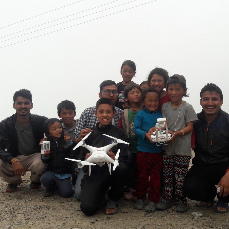
We mapped a 26 km section of road (Motinagar-Bijayapur-Talladehi section) in a remote area of Nepal.A project of this size in the rural hills would typically take around 20 days of work with traditional ground surveying methods (Total Station and sometimes also measuring tapes and theodolites), but we were able to complete it 10 days using drones. We captured aerial images of 5cm resolution and created a 100 m corridor map along both sides of the proposed roads. The project was a success, and we were able to provide the following types of output visualizations:
- Contour maps and Digital Elevation Models to represent the topography.
- A high resolution orthophoto map where ground features can be clearly identified.
- Digitized vector layers for the ground features, including buildings, roads, trees and any other natural or manmade features