Project Title: UAV survey of Liping khola hydropower project
Client’s Name: Him river power pvt. Ltd.
Project Status: Completed
Category: Hydropower survey
Major Outputs: Topographical maps, Contour map
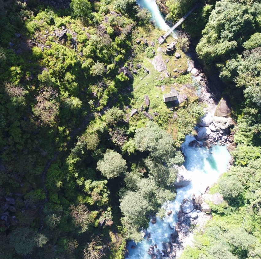
Liping khola Hydropower project is the first hydropower project ever mapped using UAVs, for both DroNepal and the overall Nepalese hydropower market. Hence, the project carried utmost importance for us and a huge challenge in terms of planning and execution so as to guarantee the usefulness of the data captured, since no use case existed for UAV survey till date in Nepal. In order create a direct comparison with the existing methodology of survey, we had to carefully pick our first client. Liping khola hydropower had already been surveyed before using traditional surveying methods, and it brought us more confidence since it would provide us references for direct comparisons with the UAV survey data so as to decide the usability of the data in context of Nepal.
For the UAV survey, DJI phantom 4 pro drone was used, alongside pix4d for flight planning as well as post-processing. Following kinds of deliverables were produced for submitting to the clients, while for comparison purposes, data in all possible formats were produced:
- Topographical map
- Contour map (0.5 m interval)
- D-cards of benchmarks