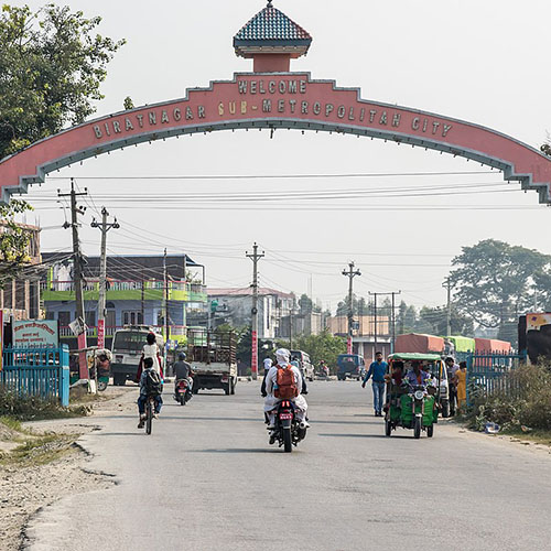
Project Title: UAV survey and as built analysis of Biratnagar municipality
Client’s Name: Kalika Construction
Project Status: Completed
Category: Urban Planning, As built Analysis
Major Outputs: Profiles, Cross-sections, Plans and Features of construction overlaid in orthophoto maps, interactive GIS database and map
As built analysis of a site where construction is completed is a very significant type of analysis required to verify that the construction has been completed in complete compliance with the designs and plans. In Biratnagar municipality’s core city area, UAV survey was done for the same purpose, of verifying that the quality and standards of the construction complied with the designs prepared. The data from the UAV survey was taken as the major source of data for the preparation of the plans, profiles and cross-sections of the various structures like the storm drainage, road side drainage, road, sewerage inlets and house connections, etc. The acquired data were used in preparing a GIS database and an interactive GIS map that could provide details on every features easily.
The major outputs from the survey were:
- Plans, Profiles and Cross-sections of various constructed structures
- Topographical map with contour overlaid
- GIS database and interactive map

