Project Title: Aerial Mapping of Sermanthang Village, Sindhupalchowk for Reconstruction Planning
Client Name: Sermanthang Village Women Development Committee
Project Status: Completed
Category: Planning and reconstruction
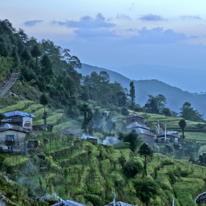
We, with two other local partners took a 6 hour bus ride, followed by a 2 hour hike, East of Kathmandu to the beautiful village Shermathang. At an altitude of 2,600 meters, Shermathang boasts scenic beauty and a trekking route that goes as far up as to Helambu, a popular tourist destination. Still untouched by the reconstruction process, this village – which has traditionally played a large role in promoting local tourism – had been wondering when it would get on its feet again. We carried out a detailed Topographical mapping of the village by also establishing ground control points such that the data can be later utilized during the new construction works. Following major outputs were generated.
1. Precise ground control points spread over the village using differential GPS.
2. Topographical map of the entire village by also highlighting the contour information.
3. Aerial Video from Drone which locals can also use for advertisement purpose.