Project Title: UAV survey and master-planning for village relocation in Khotang
Client’s Name: Rupakot-Majuwagadi Rural Municipality
Project Status: Completed
Category: Surveying, Master-planning
Major Outputs: Topographical maps, Contour map, Layout map, Master plan
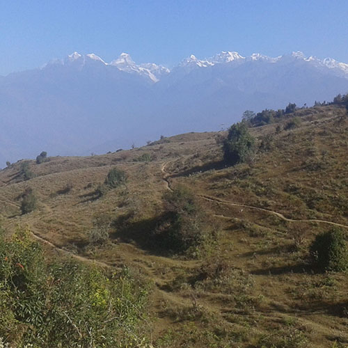
In order to find the usability of a new place for village relocation planning, lots of time is required for recognition of the potential sites and then for their study. It’s a tedious and time consuming job, through measuring the areas to finding out ease of construction, to find whether the proposed site fulfills criteria for relocation of a community. Since a large number of houses are to be constructed in the site chosen, a great attention to detail is crucial and data driven planning is the way to go. UAV surveying provides powerful visualization as well as metrics for helping choose the most suitable site in the lowest amount of time, and also help with the design and master-planning when selected for relocation.
In Bijaykharka of Khotang, UAV survey was carried out for a proposed site and upon analysis, on finding that it is infact suitable for relocation, layouts as well as master-plans were prepared based on the high resolution orthophotos, contour map and topographical map prepared using the data form the UAV survey. The major types of the outputs from the project are listed below:
- Topographical map
- Contour map
- High resolution orthophoto map
- Masterplan