Project Title: UAV mapping in Sunkhani Nuwakot
Client’s Name: Urban Park
Project Status: Completed
Category: Topographical Mapping for Tourism Planning
Major Outputs: Topographical map, Contour map, 3D
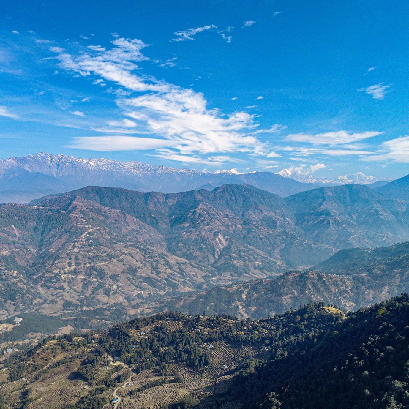
Sunkhani is a village development committee in Nuwakot District north western part of Kathmandu valley. The area is located in a transition zone between subtropical and temperate climate. The topography here was dominantly steep hill slopes. Further north of the area are stunning views of mountains and hills covered with snow. This is why the area was surveyed for further planning and development as a tourist destination. Few gentle slopes were present in those hill slopes which were the area to be mapped. The total area to be covered was about 1,01,600 square meters (~200 ropanis).
A project of this size in the rural hills would typically take around 4 days of work with traditional ground surveying methods (total station and sometimes also measuring tapes and theodolites), but we were able to complete it in 2 hours using drones. We captured 330 aerial images of 2.82 GSD conducting three successful drone flights. The project was a success, and we were able to provide the following types of output visualizations:
- 1. Contour maps and Digital Elevation Models to represent the topography.
- 2. A high resolution orthophoto map where ground features can be clearly identified.
These visualizations enable the engineering and architect teams to create better infrastructure plannings, carry out volume calculations with higher degrees of accuracy, create better master plans and provide great quality visualizations for ensuring proper project planning and construction through the interactive involvement of its stakeholders.