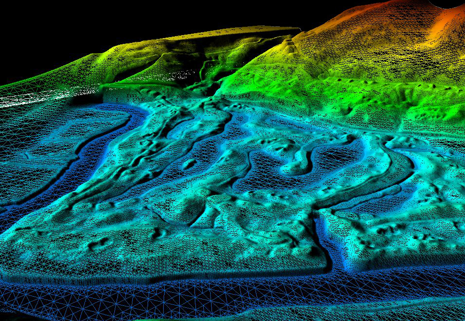
Dronepal is a pioneer in surveying and mapping services where it has been leading the industry since two years with its top notch services. From hydropowers to government authorities, we have worked with a huge diversity of clients and are able to provide quality and accurate data in a much faster time to the clients in the forms and formats that they can utilize without even having to gain any extra skills or training. We have innovated the process with with we interface the high quality drone data with the hugely popular traditional tools and softwares so that you dont have to spend time and cost in learning the steep curve of implementing the drone data into your platform. We provide highly accurate and qualitative geospatial data which you can adopt easily.